
Anderson Neighbors by Source
Public records describe ties to a block, not a complete list of people behind every door. The Madison County parcel layer can show adjoining land and parcel-associated names. The Recorder can confirm a conveyance. Voter services answer registration questions under state rules, while Anderson's historic pages and community groups describe shared places rather than private households.
| Source | What It Shows About a Block | Access |
|---|---|---|
| MCCOG parcel viewer | Parcel outlines and nearby mapped lots | Online view and print; no general viewer download |
| Schneider/Beacon property route | Address, parcel identifier and owner display | County-linked online search; live fields may vary |
| Recorder instruments | Recorded parties, legal description and transfer date | Remote services, public terminal, counter, mail and certified copies |
| Indiana voter services | Registration, polling place and ballot services | State portal and Madison County Election Office |
| Historic and community groups | District names, preservation context and public contacts | City pages and each group's own access rules |
An owner display is not proof of occupancy. The GIS schema has separate fields for a parcel's street address and an owner's mailing address, and those can differ. Renters, family members, and guests may never appear on a parcel record. Describe a displayed name as parcel-associated until a dated, suitable source proves more.
Read Anderson Parcel Fields
The Madison County Schneider WFS layer exposes State PIN, KEYNO, township, section, parcel ID, taxing unit, legal description, subdivision, lot and block, instrument, sale, value, neighborhood, street, ZIP, owner, and geometry fields. A schema shows what a layer can hold. It does not promise that each row is complete or that all fields appear in the public card.
- State PIN
- A standardized parcel identifier that helps keep the same land in view across county systems.
- KEYNO
- A county key number used to distinguish a parcel from similar street addresses.
- Situs address
- The mapped location of the parcel, which may differ from the owner's mailing address.
- Legal description
- Lot, block, subdivision, survey, or boundary words used in recorded land documents.
The inspected sample makes the mailing distinction plain: its parcel was in Fortville while the owner's mailing field pointed to Greenfield. For an Anderson block search, save both fields but never treat the mailing field as a sure current home.
Map Anderson Adjacent Parcels
The MCCOG GIS viewer provides the map view needed to define adjacency. MCCOG says its maps may be viewed and printed, but the viewer is not a certified survey and does not serve as a general data-download tool. Its geometry is a guide back to the Assessor, Auditor, and Recorder records.
Start from the exact street result, zoom until lot lines are clear, and click only parcels sharing an edge or corner if immediate neighbors are the goal. Save the State PIN or KEYNO for every selected lot. If a road, alley, river edge, railroad, or large tract makes “next door” unclear, state the chosen rule rather than drawing a social conclusion from map distance.
Note: Record the inspection date because parcel outlines, owner displays, and values can change after a transfer or map correction.
Walk an Anderson Block
A reliable block lookup moves from map to record and back. It does not search a whole street when the question concerns only the lots around one address.
- Search the address through the county-linked property route. Copy its State PIN, KEYNO, street address, and legal description.
- Open the parcel map. Select the lots that meet the chosen adjacency rule and save each parcel identifier.
- Compare the parcel situs with the owner mailing field. Label the result as recorded ownership, not occupancy.
- Check the Recorder instrument when the owner or boundary matters. Use book/page, instrument number, or legal description to avoid same-name mistakes.
- For a full named street rather than the immediate block, use the Anderson street directory workflow.
The Madison County Recorder keeps the legal record. Public computers and counter service are generally available on county business days, and remote Laredo, Tapestry, and Direct Search routes offer different index, image, and payment levels. A certified copy, not the map, controls when formal proof is needed.
Anderson Historic Block Context
Anderson's official historic page names Downtown, West Eighth Street, West Central, and scattered historic sites. These labels add preservation and place context, but a district boundary is not a list of neighbors. The Historic Anderson page also links the Anderson Downtown Neighbors Association. Its public roster or member-directory status was not accessible during research, so do not promise names.
Historic Anderson
City source for named districts, preservation context, and public links.
Downtown Neighbors
Community association linked by the city. Ask the group what contacts or materials are public.
Indiana Room
Library source for directories, maps, yearbooks, newspapers, and local image collections.
Community groups can answer questions about public meetings, projects, district history, or volunteer work. They are not government rolls. Respect any member-only list and contact rules.
Owners who want notice of a new instrument can review the Recorder's Property Fraud Alert.
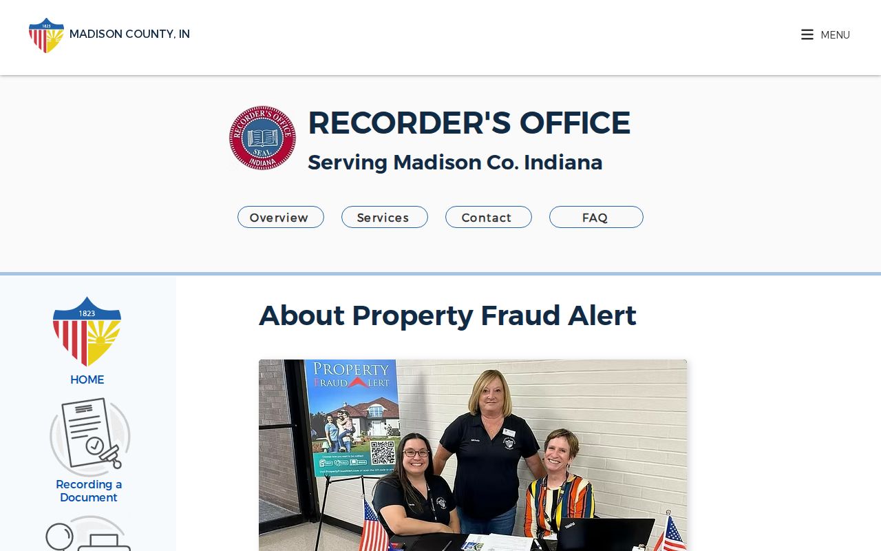
The alert sends notice of a matching recording. It does not decide that fraud occurred and is not a block directory.
Anderson Voter Service Limits
The Indiana Voter Portal supports registration, polling-place, ballot, county-contact, and absentee-information tasks. The Madison County Election Office is the local fallback. Public voter data is shaped by county policy, state redactions, and the VRG-24 request process. Social Security numbers are not public.
Indiana's Address Confidentiality Program also changes how protected voter information is handled for eligible participants. Absence from a public result is not proof that no resident or voter exists at an address. Use voter information only for the service or lawful civic purpose allowed by the custodian.
The portal captured for Anderson is a service entry point, not a downloadable block roster.
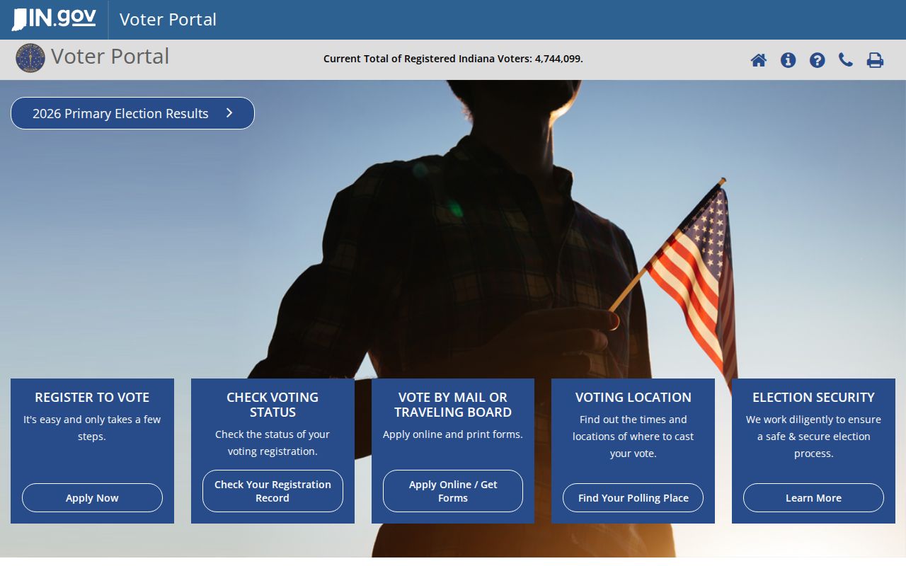
Its state-level tools should be paired with current guidance from Madison County when a formal record request is needed.
See Anderson Blocks Over Time
The 1886 Anderson Sanborn map and the Indiana Room's 1871 bird's-eye-view lead can show old street alignments, structures, industrial sites, and river edges. They describe a dated physical setting. They do not establish present ownership or occupancy.
Anderson street-maintenance, permit, engineering, unsafe-structure, demolition, or right-of-way records may explain a recent block change. No complete public address index was captured. Ask the responsible city office for a specific existing record, and use the Anderson public-record request form when an APRA request is appropriate.
Anderson's 1938 airport site and its later move tied to industrial demand also show why a place story can span several parcels and eras. Historical context helps explain a block, but parcel and instrument dates still govern each land claim.
Choose Anderson Block Evidence
Commercial neighbor tools often combine old addresses, names, phones, and inferred associations without showing the original record date. Official sources are narrower, yet they identify the custodian and record type. That makes errors easier to trace and correct.
| Route | Strongest Use | Main Limit |
|---|---|---|
| County map and property roll | Defining parcels and recorded owner display | Not proof of who occupies a home |
| Recorder instrument | Confirming a transfer and legal description | Does not list a full household |
| Commercial category | Producing broad leads | May be stale, merged, inferred, or hard to correct |
Keep the smallest fact needed. Save the source, date, parcel identifier, and relationship shown. If a county display appears wrong, contact the Assessor, Auditor, or Recorder rather than spreading the error.
Protect Anderson Neighbors
A public parcel map does not open every part of neighborhood life. Utility customer lists are not a resident roll. Delivery data, protected addresses, sealed court information, and private association rosters remain outside a casual block search. Renters and other household members may not appear in ownership files at all.
The Indiana Address Confidentiality Program supplies substitute addressing and special voter-record handling for eligible people. Respect those safeguards. A blank or different mailing field may reflect protection, ordinary record timing, or a separate owner address.
Lawful use. Look up Anderson neighbors for civic curiosity, community contact, history, or personal safety. Never use public records to watch, harass, threaten, or intimidate anyone.