
Walk an Anderson Street
Begin with the full address, not a person’s name. Madison County’s property tools connect a street location to a parcel number, legal description, and displayed owner. The Recorder then ties that parcel or legal description to recorded instruments. A directory or voter record may link a person to the address on a particular date, but neither proves current occupancy. This Anderson street directory method keeps those claims apart.
- Normalize the house number, direction, street name, type, unit, city, ZIP, and search date. Try common abbreviations, but preserve the spelling shown in the source.
- Open the Madison County Assessor property route. Save the State PIN or KEYNO, situs address, legal description, and owner display.
- Browse the same road in the MCCOG GIS viewer. Check the county, map date, and parcel outline before comparing nearby lots.
- Take the owner name, parcel key, or book and page to the Recorder. A deed shows a conveyance, not that the grantee lived at the property.
- For a dated household, consult Anderson directories, census records, and authorized voter records. Label each result by year and source.
The short chain is address → parcel → owner display → recorded deed → dated household evidence. Stop when identifiers or legal descriptions no longer match.
Search Anderson Parcels by Address
The Assessor links to Madison County’s Schneider/Beacon system. The captured county materials describe owner-name, street-address, and parcel-number paths. A live Madison card was not stable during research, so exact requirements and result limits should be checked on the current screen. The parcel number is the strongest bridge among the map, Auditor transfer data, and Recorder records.
| Anderson search control | Input | Best use | Check afterward |
|---|---|---|---|
| Name | Displayed owner name | Find matching parcel cards | Street, city, PIN, and date |
| Address | Street or situs text | Locate a parcel by street | County, ZIP, and parcel outline |
| Parcel number | State PIN or KEYNO | Carry one parcel across systems | Legal description and Recorder link |
| Advanced fields | City, ZIP, street, type or status | Narrow a long street result | Current screen options |
The county’s GIS schema also contains street, city, ZIP, owner, legal, value, sale, and geometry fields. Those are working map data, not a certified assessment or title record.
Map Anderson Streets in MCCOG
The Madison County Council of Governments describes its GIS as a viewing and printing tool. Users can browse, zoom, identify, and print map context. The research did not confirm a dedicated adjacent-parcel button or a fixed layer list, so a street-directory search should not promise either feature. Map labels and parcel shapes may also update on different dates.
The MCCOG GIS technology page shows the official route into that mapping work.
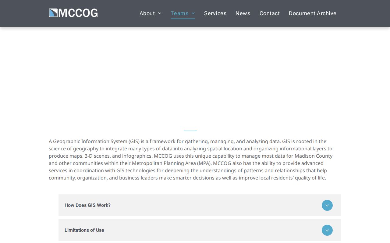
The captured page confirms the agency and its map role. It does not replace an instrument from the Recorder or a certified survey.
Anderson is only one place inside Madison County. A county result can also carry Elwood, Chesterfield, Frankton, Fortville, or another postal city, so retain the State PIN and verify the jurisdiction.
Note: A parcel next door is an adjacent mapped lot, not proof of a social relationship or a current household.
Anderson Street Records by Source
Each address-keyed source records a different relationship. The Anderson street directory is strongest when a parcel display, recorded instrument, dated directory, and city file agree. Access also ranges from a free map to an in-person book or a specific records request.
| Record Set | Keeper | What It Shows | Access |
|---|---|---|---|
| Parcel and tax data | Madison Assessor and Auditor | Situs, owner display, PIN, value and tax context | Beacon/Schneider, GIS, or counter |
| Parcel map | MCCOG | Street and parcel geometry with map context | Online viewer, print, or agency question |
| Deeds, liens, plats | Madison County Recorder | Recorded parties, legal description, book/page or instrument | Remote services, public terminal, mail, or certified copy |
| Voter record | Election Office | Potential residence, precinct, status, and participation history | State portal or lawful VRG-24 request |
| Permit and code file | Anderson Permit Center or Engineer | Work type, date, inspection, status, and record number if retained | Counter, department contact, or APRA request |
| Historical directory | Anderson Public Library | Dated residence, business, occupation, and street order | Indiana Room, microfilm, or selected scans |
Owner mailing address and parcel situs are separate fields. A voter address has its own rules. A directory residence belongs to its publication year. Keeping those labels prevents a by-address result from becoming an unsupported claim about a present resident.
Follow Anderson Deeds Along Streets
The Madison Recorder Search and Print page describes an electronic deed and miscellaneous index back to 1958, with many older documents reached by book and page. Remote choices include Laredo, Tapestry, and a data-only Direct Search route. Public computers and the counter in Room 205 provide the main fallback when a remote screen blocks a search.
Search the current purchase deed, capture its grantor, grantee, date, legal description, and instrument or book/page reference, then search the seller as a prior grantee. When a subdivision, parcel combination, easement, or metes-and-bounds description changes the legal trail, use plats and Auditor transfers. The Recorder accepts walk-in and mail requests, and certified copies come from that office. Never assume an online display is complete.
Note: A recorded deed establishes a conveyance; it does not establish that either party occupied the Anderson address.
Request Anderson Permit Address Files
The Anderson Permit Center lists construction and trade permits, remodeling, demolition, pools, roofing, alarms, additions, garages, equipment, utilities, and unsafe-structure or code routes. The City Engineer handles right-of-way excavation, dumpster, and sewer-tap permits. Research did not locate a public address-search screen or a complete historical run.
Ask the department for an existing permit, application, inspection, correction notice, demolition file, or right-of-way record for a named address and date span. If no direct index is available, use the city’s APRA form and describe the record rather than asking staff to create a street roster. The Indiana Access to Public Records Act opens existing nonexempt records; it does not require a new analysis.
Decode Old Anderson Street Entries
Emerson’s 1891–92 Anderson directory used a striking address rule. A number placed before the second street meant doors from the corner. The form “6 s 3d 2 w Washington” meant the south side of Third Street, two doors west of Washington. It was not a modern house number.
- Parcel
- A legally defined piece of land tracked by a county key.
- Situs address
- The location assigned to the parcel, distinct from the owner’s mailing address.
- Plat
- A recorded map that lays out lots, blocks, streets, or subdivisions.
- Criss-cross directory
- A directory arranged by street or address instead of only by surname.
No official Anderson reverse-directory run with exact years was found. The old directory’s street section still gives an address-to-name route. For the full historical shelf, use the Anderson city directory collections.
Place Anderson Streets in Time
The city’s Historic Anderson page names Downtown, West Eighth Street, and West Central as historic districts. It also points to scattered sites and preservation resources. These are useful geographic labels, but they are not present-day resident lists.

The image anchors the street search in Anderson’s named districts. Commission agendas, site files, ordinances, and local maps may add a date to one address.
The Library of Congress has an 1886 Anderson Sanborn map, and the library lists an 1871 bird’s-eye view plus railroad maps from 1915–1917 later corrected in 1959–1960. Compare street alignments and building footprints to a dated directory, then return to the modern parcel and deed. Old map evidence supplies context, not ownership or occupancy.
Validate Anderson Addresses with USPS
The USPS ZIP Code Lookup accepts a street address, city, state, optional unit, and ZIP. Its city-and-state and cities-by-ZIP modes can also show postal labels. USPS warns that a result does not prove a person or firm is at the location.
Postal labels follow delivery routes, not Anderson’s legal boundary. Official bulletins changed Anderson processing labels in 2015 and 2024. Use USPS to normalize delivery data, then use county GIS or a city record to answer jurisdiction questions. The street and parcel matter more than the ZIP alone.
Note: Preserve the date of every postal result because routing labels can change while the street remains the same.
Reach Anderson Property Custodians
The Assessor page is the front door for the county property search. Its captured page also carries the warning that map data should be verified. The Auditor handles ownership transfers, boundary and GIS work, tax matters, and tax-sale context. The Recorder holds the recorded instruments.
The Madison County Assessor page shows the official property-search route.
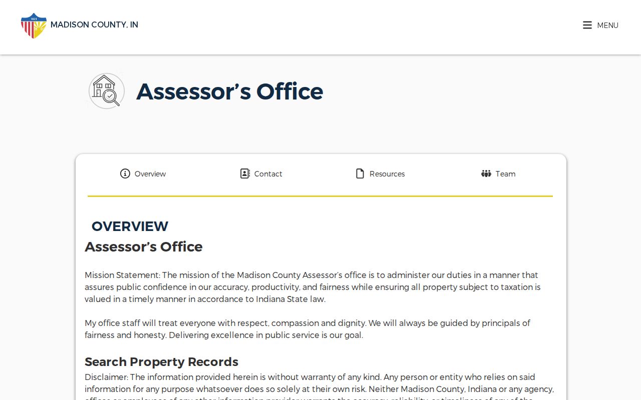
The screenshot identifies the county office behind the portal. For a failed web search, visit the Assessor or Auditor counter, call the county, or take the parcel key to the Recorder’s public terminal. Library microfilm supplies another path for older deeds, mortgages, tax duplicates, and maps.
Limits of Anderson Street Records
An Anderson street directory cannot produce a complete current household roll. Parcel tools usually center on ownership, while deeds center on transfers. Household members and non-owner occupants may never appear. Utility customer data is not a public resident list, and protected voter addresses can be withheld through Indiana’s Address Confidentiality Program.
Historical directories can omit people because a compiler missed them or they declined to take part. The Emerson preface even records contributors that did not supply information. OCR can misread a name, a map can be stale, and a mailing address can differ from the situs. Verify the date and the custodian before drawing a conclusion.
Lawful use. Use Anderson address records for lawful personal research, family history, civic questions, or property verification. Never use them to stalk, harass, intimidate, or harm anyone.